THE LAYOUT AND NAMING CONVENTION OF STREETS
WRITTEN BY Hayley Flynn
READING TIME: 4 minutes
A housing estate in Chorlton and a series of American grid-style streets in Trafford Park.
There’s a long-vacated wine shop in Chorlton, the exterior of which is flanked by two huge bay windows and the blue frames are that kind of salt-eroded, windswept pastel found only on British waterfronts and in polaroids. Traversing the suburban landscape that surrounds the wine shop the houses begin to take on the same seaside form, it’s subtle and difficult to pinpoint the exact similarities but they’re definitely there and that’s when you notice the street signs: Fairhaven, St Annes, Lytham, Cleveleys, and it’s quite serendipitous but there’s long winding road that wraps around this estate and it goes by the name of Sandy Lane - a tarmac beach. Were these houses designed to mirror the architecture of our seaside resorts or have the streets, like dogs that resemble their owners, taken on the characteristics of the towns they’re named after?
Le Corbusier famously outlined his plans for a new Paris in his manifesto The City of Tomorrow and Its Planning. The streets that had grown from the paths of least resistance, those traced by meandering pack-donkeys during medieval times, were not efficient for modern man. To Le Corbusier the city was a mechanism and neither character nor exploration were necessary components of his well-oiled machine. The streets in his vision were laid out in meticulous order, exact geometry that suited and served the way of man, and not the way of the donkey. Manchester, like much of the UK, is part man and a whole lot of donkey. But not entirely. Some of the order found within the grid layout of new transatlantic cities, their blocks and their numerical naming convention, made it to Manchester.
In 1886 American owned Westinghouse Electrical Company built besides the Bridgewater Canal on what had been meadows up until the completion of the Manchester Ship Canal. Westinghouse pulled out all the stops to have his enormous factory built in record time along with a model village for his workers. He based his Trafford Park Village on the regimented blocks of America and provided four avenues and twelve streets of housing, small businesses and community centres.
Today the streets have been altered somewhat but this grid layout still exists to some degree. In the grid the four avenues all run north to south with the streets running east to west. In more recent times the avenues have been subject to a bizarre renaming wherein the former Fourth Avenue is now Fifth Avenue and to offset any confusion a small street has been fashioned between avenues and has taken the name of Fourth Street, with the original Fourth Street being razed to the ground along with Second, Third, Seventh and Ninth.
One can only imagine that this pointless and confusing renaming was influenced by the perceived glamour associated with Manhattan’s Fifth Avenue.
The water tower of the Westinghouse factory, Trafford Village. Image care ofMetropolitan Vickers
The etymology of some commonplace street names is often less obvious than say, High Street, Market Street or John Dalton Street, with Shambles Square towards Victoria Station deriving from ‘fleshammels’ meaning meat shelves and Piccadilly being a style of fringed collar invented for Queen Elizabeth (yes, those Blackadder ruffles).
During major investment into Manchester’s China Town in the 1980s it was mooted that the streets were renamed in honour of the area’s new residents but as this was the oldest part of the city centre that remained unchanged (and as such is home to an impressive series of ghost signs) it was decided against.
The very English Chinatown street signs
Other streets within the city boundaries have changed over the years, Maine Road was originally Dog Kennel Lane but once the long hours of industry drove children to alcohol the city tried to be one of temperance and this particular change was a tribute to Maine Law - the prohibition of the sale of non-medicinal alcohol in America. Sanitary Street in Ancoats was built as a model street for mill workers but the residents disliked the mundanity of their new abode that had been so named to reflect the comparatively high standards of living, so long before the signs of Canal Street were tampered with to reveal an altogether smuttier message, Manchester was already prone to defacing signs - removing a few letters here and there until the street eventually became Anita Street.
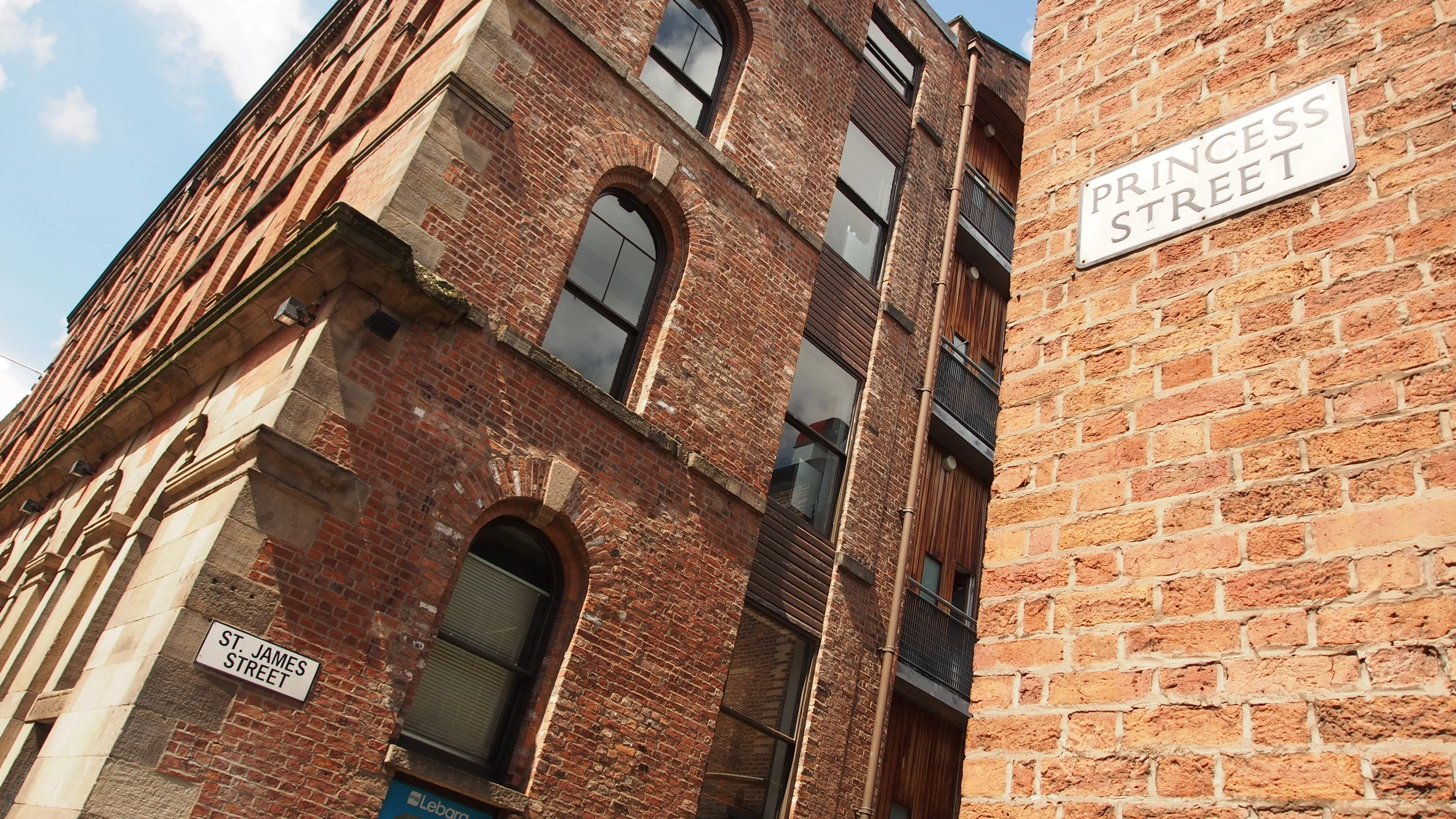
The streets of a city are a source of fascination, a maze of brick and concrete, the ways of the pack-horse or the precise directions of a city planner. It’s the unnoticed nuances of the streets that are all the more fascinating: the Trap Streets - those fictional roads which exist only within maps to protect copyright; the specially commissioned Tim Rushton typeface ‘Cypher’ that adorns the Northern Quarter with white letters on blue for the streets that run east to west, and blue on white for those running north to south; and more simply there’s the street names themselves.
This article originally appeared in Now Then. You can read the full magazine here.


